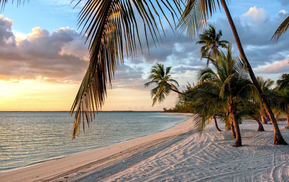
The Bahamas archipelago consists of a chain of islands and shallow water “banks” stretching from northeast to southwest and extending some 1400 km from Florida to the island of Hispaniola. Most islands are situated along the eastern edge of large, shallow water platforms, separated from one another by deep ocean channels. The two largest platforms are the Great Bahama Bank, which contains the islands of Andros, Exuma, New Providence, Eleuthera, Long and Cat, and the Little Bahama Bank with Grand Bahama and Abaco.
The Bahama Platform is composed of limestones of shallow water marine origin extending to depths of as much as 8000 meters. The tops of the banks are composed of shallow marine, coral and eolian (wind-blown) limestones, together with carbonate sands. The banks subside at a rate of 1 cm per 250 years, but this is replaced by new carbonate deposits maintaining surface stability in the area.
North Bight Double Hole: Andros Island, Bahamas
The entire region was considerably affected by sea level changes during periods of Pleistocene Ice Ages, encouraging karst and cave development. Numerous caves and sinkholes in the Bahamas occasionally reach depths of 100 m, representing the lowest sea level from Pleistocene times. Such now submerged caves frequently contain stalactites and stalagmites, which only can form in air, thus confirming the long periods of lowered sea level these caves must have endured. Today, the groundwater on many island consists of a freshwater lens floating on underlying sea water.
Water-filled caves and cavities in the Bahamas are known as “Blue Holes” due to their predominant coloration. Such caves may occur in the interior of islands (inland blue holes) or in shallow waters on the banks (marine or ocean blue holes). Three types of blue holes have been distinguished: (1) Cenotes are vertical shafts, frequently 50 to 150 m in diameter, that tend to bell out at depth and extend to 50 to 100 m depths. (2) Lens-based caves are laterally extensive systems formed at the contact zone between fresh and marine groundwaters. Lucayan Caverns, a lens-based cave on Grand Bahama, is the longest cave in the Bahamas at 14 km. (3) Fracture-guided caves are vertical, linear systems developed on major fractures running parallel to the steep edge of the carbonate bank. These fractures are believed to have formed as a result of slumping along the bank margin during periods of lower sea level. Such caves have passages 2 to 20 m wide, frequently reaching depths of 100 m or more.
Sixty-nine troglobitic species have been identified from Bahamian caves including 63 crustaceans, 3 sponges, 1 annelid, 1 chaetognath and 1 fish. Many belong to the same genera as cave species from Cuba and Yucatan. In order of abundance, the fauna includes 13 species of copepods, 13 ostracods, 7 remipedes, 7 cumaceans, 6 amphipods, 5 shrimps and 5 isopods.


