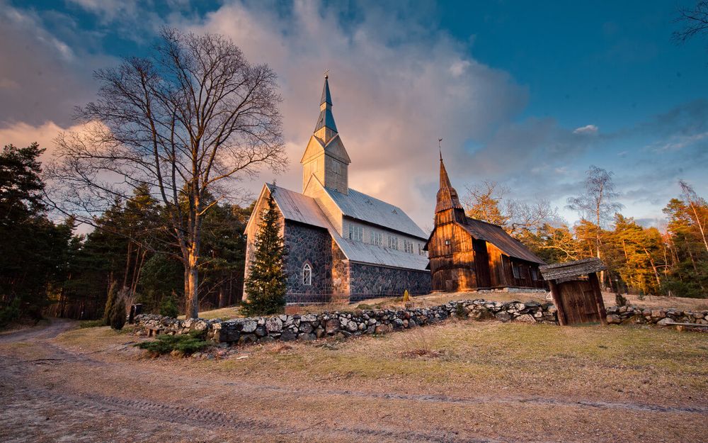
The islands of West-Estonia, including Ruhnu (located in the middle of the Gulf of Riga), form the West-Estonian Archipelago Biosphere Reserve which was established in 1990 under the aegis of UNESCO. The territory of the Reserve, together with its water areas, covers 15 600 square km. The Reserve was established to protect valuable and vulnerable ecosystems and to promote sustainable and balanced development of the islands.
Hiiumaa Island
Hiiumaa (989 square km) is the second largest island in Estonia. Near the eastern and southeastern coast of the island approximately 200 islets and islands are located. The largest of them is Kassari (19.3 square km) which is linked to the main island via dams. The coastline (310 km) is highly indented. Kõpu Peninsula stretches to the west. The maximum height of the central part of Kõpu reaches up to 67 m and here the oldest lighthouse in the Baltic countries is located (constructed in the first half of the 16th century to warn sailors against the dangerous Hiiu shoal, early known as Neckmansgrund). The relief of the rest of the island is flat. The major part of the territory of Hiiumaa is covered with forests. Vegetation is rich in species: here about 1000 species of vascular plants occur. Among these are many rare plant species.
Vormsi Island
Vormsi Island (98 square km, with about 340 inhabitants) is located close to the northwestern coast of Estonia. The coastline of the island is indented. This low and flat island is mostly covered with clumps of juniper, meadows and forests (forests cover 1/3 of the territory of the island). Swedes (over 2000 inhabitants in 1930), who had lived on the island for centuries and had preserved their old customs and language, left the island during World War II.
The largest islands in the Gulf of Riga are Kihnu, in the eastern part of gulf; Ruhnu, in the middle of the gulf; and Abruka, near the southern coast of Saaremaa Island.
Ruhnu Island
Ruhnu is Estonia’s only true non-coastal island (11.4 square km, around 60 inhabitants). The island is the protruding part of a couple of kilometre-long drumlin-like ridge situated in the deep central part of the Gulf of Riga. The higher eastern part of the island (up to 29.6 m) is interspersed with dunes and shore ridges. An up to 4 m high shore embankment lines the coast. The island’s intricately etched western shore is an area of low-lying coastal meadows. The eastern part of Ruhnu is covered with pine forest stands; these have been seriously damaged in storms during recent decades. The Swedes who inhabited the island for centuries fled to Sweden in 1944.
Kihnu Island
This is a low lying and level sandy and rocky island which reaches only up to 8.5 m above the sea. It has a surface area of 16.4 square km and a population of about 500. Its higher sandy parts support pine forest stands; extensive coastal meadows are found near the shore. The island is surrounded by over 50 small islets, which form an internationally important nesting and staging area for birds, as well as a resting area for seals. Many aspects of traditional folk culture have survived on Kihnu. The islanders’ principal occupation has been fishing and, formerly, seal hunting.

